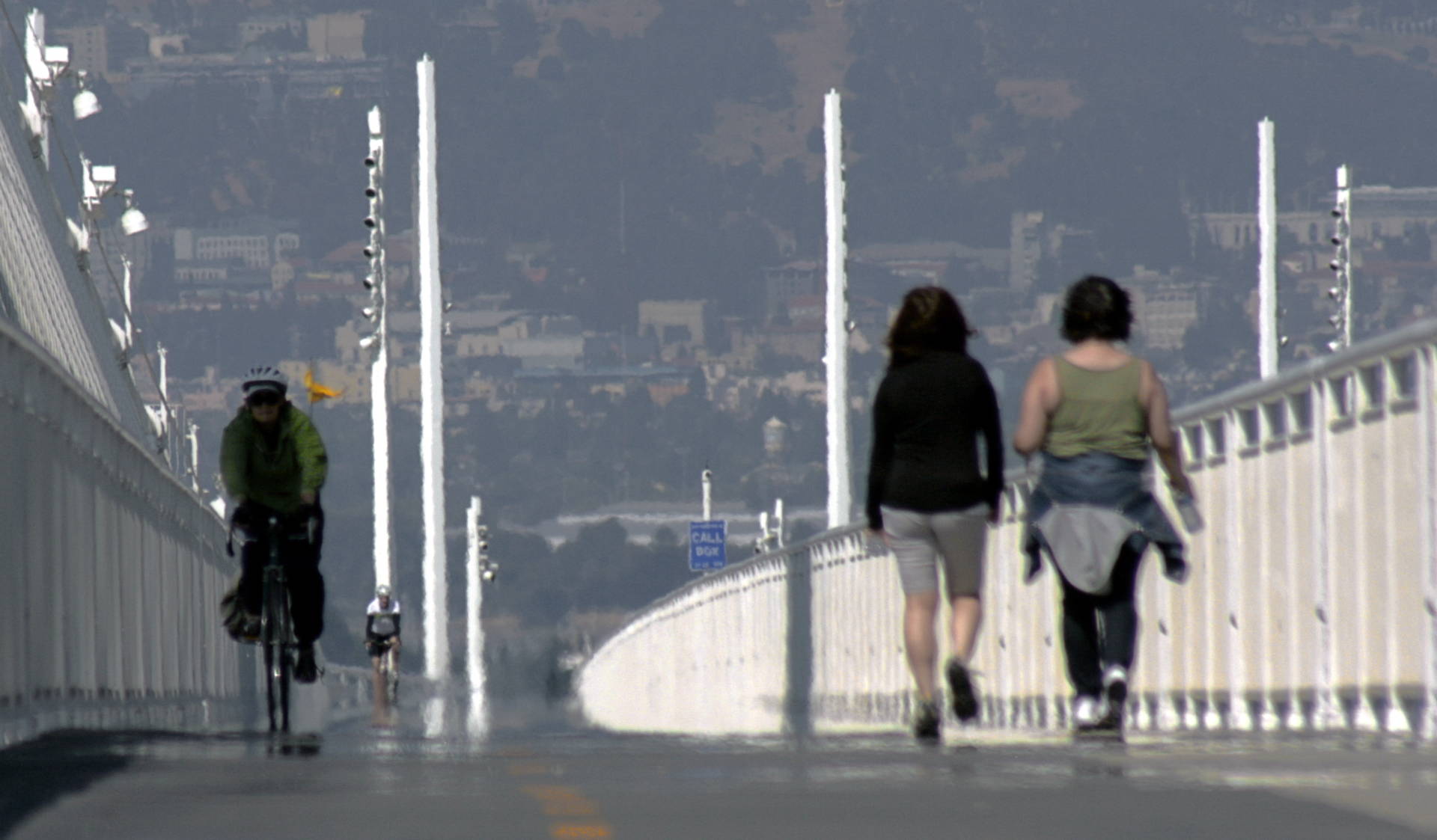
It's long been a dream for pedestrians and cyclists. But unless you've got wheels, making a trip across the Bay Bridge remains an impossibility.
When the bridge's new east span opened in 2013, the 15-foot-wide shared-use path that debuted with it was essentially a "bridge to nowhere." Later in 2016, the path was extended as far as Yerba Buena Island. But there still isn't a clear way to bike or walk into San Francisco from the East Bay.
Now, the Bay Area Toll Authority (BATA), along with Caltrans and a team of engineers, have come up with a preliminary design plan to extend the path all the way into the city, via Yerba Buena Island and across the west span of the bridge into downtown San Francisco.
On Monday, November 19, locals can check out the preferred design at a public presentation at the Bay Area Metro Center (375 Beale St.). In addition to a question-and-answer session, the presentation will include a virtual reality experience where you can "stand" on the proposed path.
https://hoodline.com/2018/11/proposal-for-full-bay-bridge-bike-path-gains-steam-but-needs-cash?pd00=7c14a275-afd5-413d-b1af-5c415e13c729&pd01=e1e48877-051d-471e-bbb9-ae621b49198d&pd02=pl-search&pd99=6e0401e8-435c-49fd-8324-8fe46c9e930ehttps://ww2.kqed.org/news/wp-content/uploads/sites/10/2018/06/25323156347_636c52a351_k-e1528163700824.jpg
https://www.kqed.org/news/11700881/the-10-best-places-to-watch-the-worst-bay-area-traffic-congestion?pd00=a1b5b157-06a8-47e1-b04c-f63d3d577bbe&pd01=e1e48877-051d-471e-bbb9-ae621b49198d&pd02=pl-search&pd99=d48c6017-d22e-413e-bd73-ab8e53743fa5

