https://www.reddit.com/r/vancouver/comments/1tfsdxg/long_lost_days One of the few major streets within Vancouver to be at least 6 lanes wide. However, with curb lane parking it just becomes another 4 lane corridor in BC.
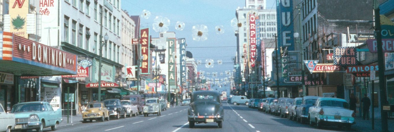
https://www.vancouverarchives.ca/wp-content/uploads/cropped-a9b22bf7-d985-4372-9650-7a51afbe5f94-2010-006.161-2-3.jpg This part of Granville used to have 6 lanes. The 1970s mall reduced it to just 2 lanes, causing an instant bus bottleneck-chokepoint. A 4 lane compromise still would have allowed for wider sidewalks. A 4 lane transit mall could have allowed for a constant passing lane when another bus has stopped. It was as if someone didn't want to have an efficient bus corridor for express buses, as well as local busses. When a local bus stops on a 2 lane street, its impossible for an express bus to pass, especially when there is a stopped bus on the other lane, also preventing any express bus to pass.
Several cities around the world still have wide streets, boulevards and avenues with 8-10 lanes. If Vancouver had allowed some 8 lane wide streets, 2 curb parking lanes would still provide 6 traffic lanes. Then, if 2 lanes were for buses, there would still be 2 lanes each way for general traffic.
The public and then the planning department (after being pressured) were firmly against having freeways within the city limits during the 1960s and 70s. However, there still should have been enough logic to allow for wider streets so that it would be easier and more efficient to have a bus lane each way.
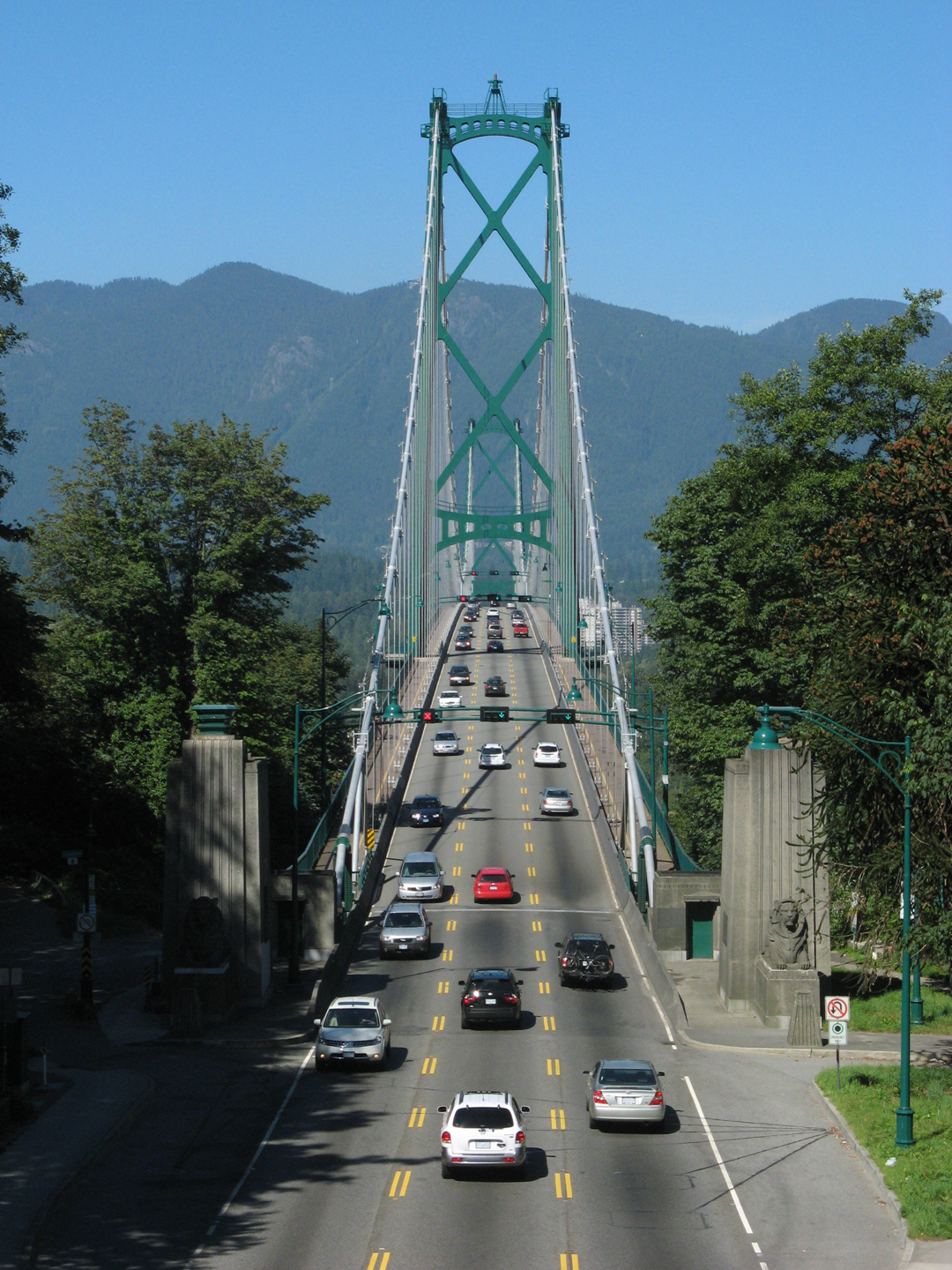
As of 2026, no bridge within the Vancouver city limits has 8 lanes and only two bridges have 6 lanes. One has 5 lanes and then there are four 4 lane bridges and the 3 lane Lion Bridge joke.
All of the Vancouver bridges are so narrow that there was no provision for any future bus lanes. Plus, 2 bridges each had 2 lanes removed that could have been used for buses. Congestive transportation planning is the name of the game for backwards Vancouver. If there ever was a city that needs a series of bus bridges, it would be stubborn Vancouver.
Even the Greater Vancouver region is lacking in having a series of bus bridges, especially since the Skytrain isn't a 24 hour system.
https://www.vancouverarchives.ca/2011/04/18/how-did-harland-bartholomews-ideas-shape-vancouver
https://archive.org/details/vancplanincgen00vanc The Bartholomew Plan published in 1928.
https://www.flickr.com/photos/vancouver-archives/albums/72157626484421302/
https://globalcivic.org/harland-bartholomew/
https://www.urbanstudio.sala.ubc.ca/2010/lectures/Sept21_presentations/2_TheBasics.pdf
https://samsullivan.ca/taking-a-closer-look-at-the-legacy-of-harland-bartholomew-and-his-plan-for-vancouver-2 , https://www.youtube.com/watch?v=YIuAk1TIKHo
.jpg/500px-SkyBridge_from_SkyTrain_(5770458210).jpg)


