Bike bridges might not be able to totally solve the transportation mess that is Vancouver. However, its quite odd how Vancouver Cycling_Infrastructure is missing a crucial bit of transportation infrastructure. Indeed, many cities will build least 1 proper bike bridge. The Vancouver approach is to take traffic lanes away from existing bridges, or not even bother to build a bike bridge next to a congested bridge.
https://en.wikipedia.org/wiki/List_of_crossings_of_the_Fraser_River#North_Arm There should have been several bus and bike bridges in just this section alone.
https://bicyclenetwork.com.au/newsroom/2024/08/08/striking-perth-bridge-crosses-key-construction-milestone Unfortunatly, such a nice bike bridge in Perth isn't allowed in backwards Vancouver.
https://www.mainroads.wa.gov.au/projects-initiatives/all-projects/metropolitan/causeway-path/
https://www.wsp.com/en-ca/projects/perths-boorloo-bridge If you are visiting Perth from Vancouver, you might cry when you realize what WA can do, simply because its not influenced or limited by the backwards BC mentality or mind virus.
https://www.destinationperth.com.au/listing/boorloo-bridge/3706 Unlike in backwards Vancouver, many cities build bike bridges so that they don't have to remove traffic lanes.
https://dissingweitling.com/en/project/swan-river-causeway-bridge
https://www.buildingfortomorrow.wa.gov.au/projects/boorloo-bridge Unfortunatly, properly building-for-tomorrow is much more difficult in backwards BC than it is in WA.
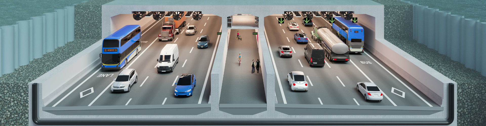
A bike+bridge in the right spot can make a huge difference. A bus+and+bike+bridge can be a huge improvement, especially in the case of Vancouver and the Greater Vancouver Region.
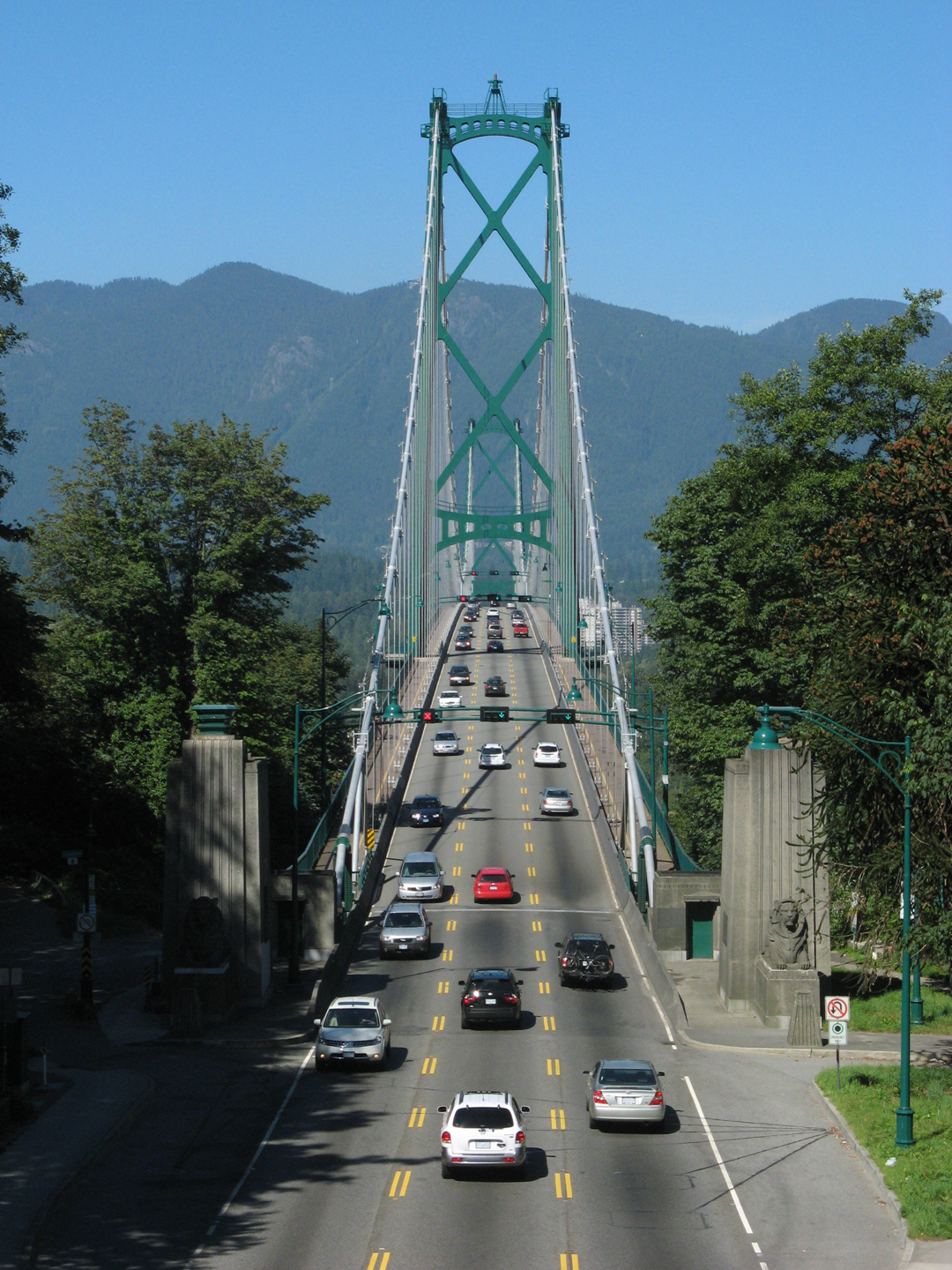
The Arthur_Laing_Bridge, Oak_Street_Bridge, Knight_Street_Bridge and the Queensborough_Bridge all could be improved simply by building a bus+and+bike+bridge next to them. These bridges are simply too narrow to accommodate 2 bus lanes, 2 wide bike lanes and 2 wide footpaths.
The narrow North_Arm_Bridge for the very short Canada Line trains, is another lost opportunity. There should have been 2 express bus lanes, since the little train doesn't run 24 hours. There should have been 2 wide bike lanes as well as 2 sidewalks.
Perhaps it was designed to be in the tradition of the narrow SkyBridge between NW and Surrey. Unfortunately, the SkyBridge wasn't designed to help the old Pattullo Bridge by accommodating 2 bus lanes, 2 bike lanes and 2 sidewalks.
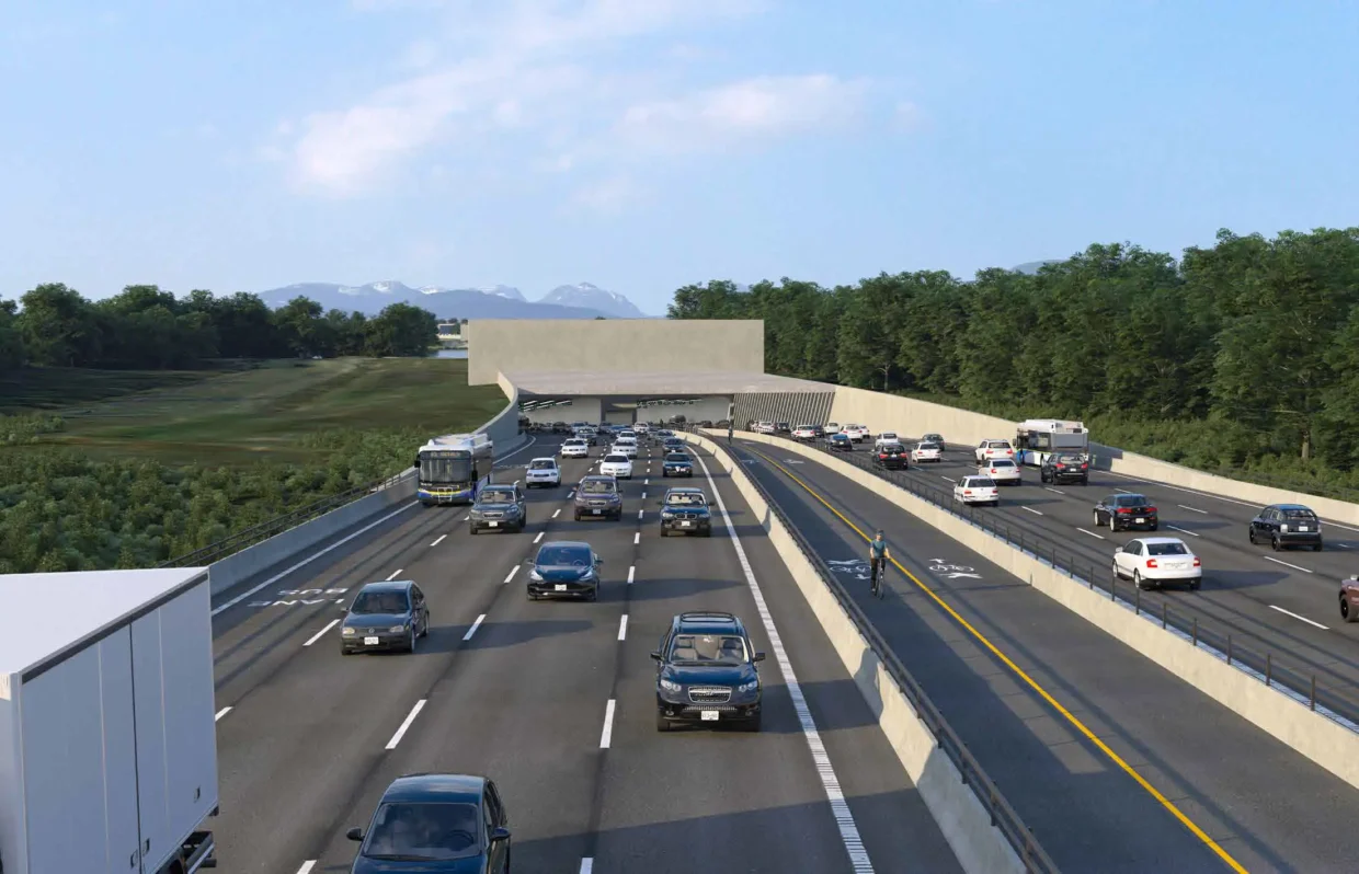
While the Pattullo_Bridge_replacement opened with 2 nice bike lanes and 2 footpaths, there was a deliberate decision not to open it with 2 bus lanes and 2 HOV lanes. Especially, no wide emergency lanes or wide shoulders. Its another instant classic BC bottleneck-chokepoint.
Somehow the Metro_Vancouver_Regional_District still hasn't realized that a regional network of bus and bike bridges can really help the region's mostly narrow bridges. Plus, proper big city long trains.
https://en.wikipedia.org/wiki/Expo_Line_(SkyTrain) Only started to run some 5 car trains in 2025.
https://en.wikipedia.org/wiki/Millennium_Line Still usually only 2 car train with the option to run 4 and the potential to eventually run 5 car trains.
https://en.wikipedia.org/wiki/SkyTrain_(Vancouver)#Canada_Line Despite a building cost cutting measure, this joke of a train and its short stations still could have been designed with enough level clearance to allow for 5 car trains eventually. Unfortunately, this line was designed to ultimately just have 2.5 car, 50m trains. Since 2009, this line is still only running 2 car trains.
Multigenerational congestion planning is all by design in backwards BC.
https://jfdatalinks.blogspot.com/search?q=the+missing+element
.jpg/500px-SkyBridge_from_SkyTrain_(5770458210).jpg)


_(23678427633).jpg)